The 2026 Atlantic hurricane season began on June 1, and early forecasts point to a slightly below-average Atlantic hurricane season. We can expect around 12 to 13 named storms, with about six becoming hurricanes and up to two reaching major strength. In this year’s forecasts, El Niño and cooler Atlantic waters play a key role in storm activity.
Current predictions suggest the 2026 Atlantic hurricane season will likely bring fewer storms than average, but it only takes one hurricane to cause serious damage. Even in a quieter year, a single landfall can disrupt lives, homes, and travel plans. Residents need to stay alert and prepare before storms form, not after warnings go up.
Forecasts can change as ocean temperatures and wind patterns shift. As usual, there will be updates from groups like NOAA and Colorado State University as the season develops, so staying informed gives you an edge.
Key Takeaways
- Early forecasts call for slightly below-average storm activity in 2026.
- El Niño and ocean temperatures will shape how many hurricanes form.
- One landfalling hurricane can still cause major impacts, even in a quieter season.
Seasonal Forecasts and Predictions
Forecasters have issued early projections for the 2026 hurricane season, with several major agencies outlining expected storm activity. You can use these outlooks to understand likely storm numbers, intensity trends, and how official forecast tools may guide your decisions during the season.
NOAA (National Weather Service)
NOAA’s National Weather Service released its official Atlantic hurricane season outlook on May 21, 2026. They predict a below-normal season with 8 – 14 named storms, 3 – 6 hurricanes and 1-3 major hurricanes. This below-normal activity is due to El Nino conditions which suppress tropical storms and hurricane development.
Colorado State University
Colorado State University (CSU), led by Phil Klotzbach, issued its early 2026 hurricane season forecast in April. CSU predicts below-normal activity with 13 named storms, 6 hurricanes and 2 major hurricanes. It also expects updates in June, July, and August as ocean and wind patterns become clearer.
Accuweather
Accuweather expects that El Nino will impact the season and result in 11 – 16 named storms, 4 – 7 hurricanes and 2 – 4 major hurricanes. Their forecasters also expect 3 – 5 direct impacts on the United States in 2026. Accuweather also believes that the 2026 Atlantic hurricane season will be influenced by the position of the Bermuda High.
Storm Geo
Storm Geo forecasts that there will be 13 named storms, 6 hurricanes and 2 intense hurricanes. This forecast which is backed by a European model shows that 2026 will be a less active season. This forecast also acknowledges that there will be a strong El Nino, and strong wind shear and dry air for the Caribbean and the main storm development region.
Tropical Storm Risk
Tropical Storm Risk issued its first extended range forecast for the 2026 Atlantic hurricane season in December 2025 and then an update in April 2026. The April 2026 forecast expects 12 named tropical storms, 5 hurricanes and 1 intense hurricane. They also expect a moderate or strong El Nino to develop and persist through autumn and thus suppress storm formation.
Storm Numbers and Categories
Seasonal forecasts focus on three main numbers – named storms, hurricanes and major or intense hurricanes.
For example, see CSU’s forecast below:
| Named Storms | Hurricanes | Major Hurricanes | |
|---|---|---|---|
| CSU | 13 | 6 | 2 |
A named storm forms when a tropical cyclone reaches sustained winds of 39 mph. Storms reach hurricane status when they develop winds of at least 74 mph. A major hurricane is a Category 3 storm that has winds of at least 111 mph. Even one major landfall can cause severe damage. You should focus less on totals and more on your local risk, since a single storm can affect your area.
Updated Hurricane Forecast Products
During the season, the National Hurricane Center provides track and intensity forecasts for each tropical cyclone. You will see the familiar forecast cone, which shows the likely path of a storm’s center over several days.
The forecast cone does not show storm size or impacts outside the center line. Heavy rain, storm surge, and strong winds often extend far beyond the cone. You should review local alerts from the National Weather Service for impact details.
NOAA’s Hurricane Hunter aircraft collect real-time data by flying into storms. Crews operate from the NOAA Aircraft Operations Center and use onboard instruments to measure wind, pressure, and temperature. This data improves forecast accuracy and helps you make informed decisions during the 2026 hurricane season.
Key Influences on 2026 Storm Activity
Several climate signals will shape how active the 2026 Atlantic hurricane season becomes. You need to watch ENSO conditions, Atlantic sea surface temperatures, wind shear patterns, and regional features across the basin.
El Niño and ENSO Impacts
El Niño and La Niña sit at the center of seasonal hurricane forecasts. These phases of the El Niño–Southern Oscillation (ENSO) change wind patterns over the Atlantic.
Most of the outlooks warn that El Niño could strengthen during 2026. A stronger event, sometimes called a Super El Niño, often increases upper-level winds over the Caribbean and tropical Atlantic. Those winds raise vertical wind shear and can disrupt developing storms.
If El Niño remains moderate to strong, you will see fewer named storms and hurricanes. Conversely, if ENSO shifts toward neutral or La Niña later in the season, the risk changes. La Niña reduces wind shear, which often allows more storms to organize and intensify. Even a short-lived shift can raise late-season risk in the Caribbean and Gulf.
Sea Surface Temperatures and Anomalies
Warm water fuels hurricanes and sea surface temperatures (SSTs) across the Atlantic basin are indicators of how warn the water is. Forecasters track SST anomalies, which show how much warmer or cooler the water is compared to normal. When Atlantic sea surface temperatures run above average, storms can strengthen more easily.
The Main Development Region (MDR), which stretches from West Africa to the Caribbean, plays a key role. Warm Atlantic SSTs in this zone often support stronger tropical waves and more organized systems.
However, El Niño can cool parts of the tropical Atlantic by changing wind and cloud patterns. If SST anomalies trend closer to average, storm intensity may stay limited.
Forecasters will also watch the Gulf and western Caribbean, where water often runs very warm by late summer. Even in quieter seasons, hot local SSTs can support rapid intensification near land.
Wind Shear and Vertical Wind Shear Trends
Wind shear measures how wind speed or direction changes with height. Vertical wind shear can tear apart a developing storm.
During El Niño, stronger upper-level winds over the Caribbean and tropical Atlantic often increase shear. That makes it harder for storms to stack vertically and form a strong core.
Lower shear, which is more common during La Niña or neutral ENSO, allows storms to build upward. This setup often leads to more hurricanes and major hurricanes.
Forecasters will also focus on shear trends over the MDR, the Caribbean, and the Gulf. Even if total storm numbers stay near average, periods of low shear can open short windows for rapid development.
Regional Factors in the Atlantic Basin
Storm formation does not depend on ocean heat and shear alone. Regional features across the Atlantic basin also matter.
African easterly waves serve as the seeds for many hurricanes. When these waves move off West Africa into a warm MDR with low shear, development becomes more likely.
The Saharan Air Layer (SAL) can suppress storms. This dry, dusty air spreads westward from Africa and can limit thunderstorm growth, especially in June and July.
Conditions in the Caribbean and Gulf of Mexico, where short-track storms can form close to land will also be monitored. These systems may not last long, but they can intensify quickly over very warm water.
Local wind patterns, moisture levels, and pressure systems across the Atlantic basin will shape when and where storms form in 2026.
Storm Preparedness, Uncertainties, and Notable Trends
Forecasters expect a below-normal season, but your risk depends more on where storms track than on how many form. Even a quiet season can bring a damaging landfall, rapid intensification, or severe storm surge.
Landfall Probability and Risk Assessment
The hurricane belt faces landfall risk every year, even when forecasts call for fewer named storms. For 2026, outlooks point to around 12 named storms, 6 hurricanes, and 2 major hurricanes, which is below the long-term average.
El Niño often increases wind shear and limits development in the Atlantic. In many past El Niño years, countries saw fewer landfalls, and rarely more than one.
Still, landfall depends on steering winds, not just storm totals. A single hurricane can strike a high-risk area such as the Gulf Coast, Florida, or the Carolinas.
As a precaution, you should review:
- Your evacuation zone
- Local shelter locations
- Flood and storm surge maps
- Insurance coverage and deductibles
One direct hit can define your season, even if the basin stays quiet.
Rapid Intensification and Noteworthy Storms
Rapid intensification is a major threat, even in a below-average year. Storms can strengthen from a tropical storm to a hurricane in less than 24 hours if conditions allow.
El Niño may limit the total number of major hurricanes. However, warm pockets of water can still support sudden strengthening near land.
The first hurricane of the season often forms in August, but storms can develop earlier. Based on this, you should monitor seasonal updates before June 1.
Pay attention to:
- Forecast changes within 48 hours
- Watches and warnings from NOAA
- Shifts in projected track
Storm names may rotate quietly through the list, but one rapidly intensifying system can still cause severe wind, rain, and surge damage.
Recent Analog Seasons and Historical Lessons
Weather scientists and forecasters will compare 2026 to recent El Niño seasons but may not rely on them fully. In 2023, for example, El Niño developed, yet very warm Atlantic waters supported 20 named storms.
This year, sea surface temperatures appear closer to average. That reduces the chance of an unusually active season, but it does not remove risk.
History shows that:
- Below-average seasons still produce major hurricanes.
- A single landfall can cause billions in damage.
- Storm tracks shift late in the forecast window.
Each storm is a separate threat. Seasonal numbers guide planning, but they do not predict where the next hurricane will strike.
Storm Surge and Impacts beyond the Coast
Storm surge remains the deadliest hurricane hazard in many cases. You can face life-threatening flooding even if the storm makes landfall dozens of miles away.
Major hurricanes bring the highest surge risk, but weaker hurricanes and strong tropical storms can also push water inland. Surge risk depends on:
- Coastal shape and elevation.
- Tidal cycles.
- Forward speed of the storm.
Heavy rain can cause inland flooding far from the coast. Rivers may rise days after landfall, especially if the storm slows down.
Most projections suggest near-average or slightly below-average tropical storm activity. You should treat these forecasts as guidance, not exact outcomes. Additionally, when a storm forms, you should not focus only on wind category. Water, both from surge and rain, often causes the greatest impact to homes, roads, and power systems.
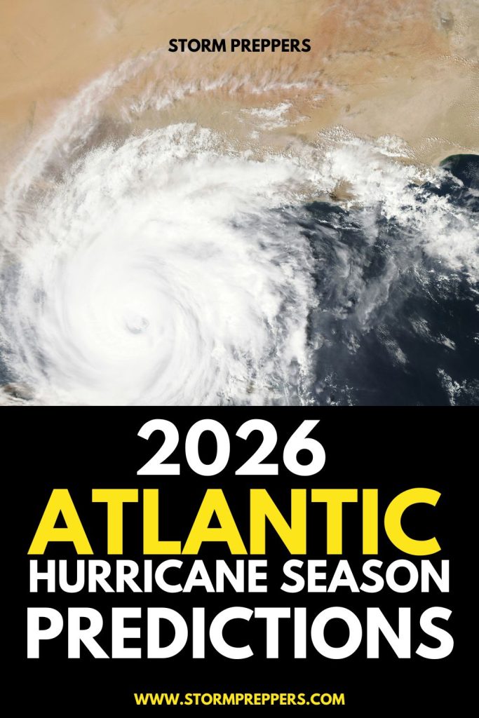
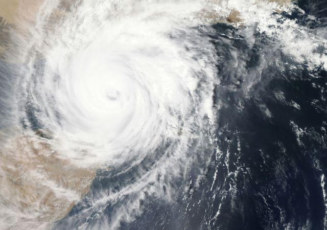
Image: NASA via Unsplash